What if your morning walk started on a tree-lined path that can take you all the way to Georgetown or Silver Spring? If you love fitness, fresh air, and easy access to shops and Metro, living near the Capital Crescent Trail in Chevy Chase could be a perfect fit. In this guide, you’ll learn where to get on the trail, how construction may affect access, what day-to-day life feels like, and how proximity can influence home decisions. Let’s dive in.
Capital Crescent Trail basics
The Capital Crescent Trail links Georgetown and the Maryland suburbs and is commonly described as about 11 miles end to end. The paved section from Georgetown to downtown Bethesda is about 7 miles, and the former crushed-stone Georgetown Branch from Bethesda to Silver Spring adds roughly 4 miles. You can review the route and current details on the Montgomery Parks page for the trail at the Georgetown–Bethesda and Georgetown Branch corridors (Montgomery Parks overview).
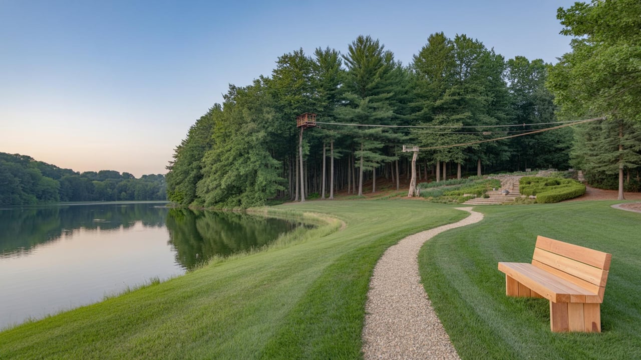
Expect a busy, shared-use path, especially near Bethesda. Volunteer counts have documented heavy weekday and weekend flows, with peak hourly volumes in Bethesda reaching several hundred users in prior surveys (Coalition trail use survey). Weekend mornings can feel like a friendly “bike rush hour,” so it helps to pick your times if you prefer quieter laps.
Chevy Chase access points
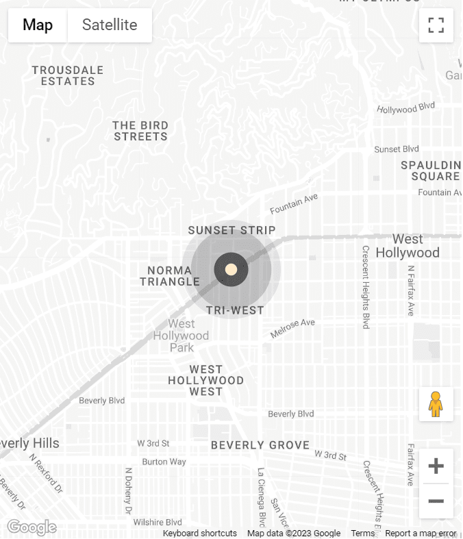
Living in Chevy Chase puts you close to several convenient entries. Walking times vary by block, so check your specific address on a map before planning a route. The Coalition for the Capital Crescent Trail keeps an updated access page that is helpful for wayfinding and parking notes (CCT access guide).
Bethesda trailhead
The main Bethesda trailhead sits near Woodmont Avenue and Bethesda Avenue, right by Bethesda Row. This is the busiest local access for Chevy Chase residents who want a quick ride or jog into the city or a relaxed walk toward Dalecarlia and Fletcher’s. Shops and cafes at Bethesda Row make it easy to pair a workout with errands.
Connecticut Avenue crossing
Near the DC–Maryland border and Friendship Heights, the trail interfaces with the Connecticut Avenue corridor and nearby retail. This is a practical entry if you live along Connecticut or Wisconsin Avenue and want a short ride to Bethesda or into DC.
Jones Mill and Rock Creek links
From the northeast side of Chevy Chase, you can reach the trail and connect into Rock Creek Park via Jones Mill Road. This approach is popular if you enjoy longer loops that mix the Capital Crescent with the Rock Creek trail network.
Chevy Chase Lake connections
Chevy Chase Lake Drive and Manor Road sit within the Chevy Chase Lake redevelopment area, where planning calls for a strong trail interface and a Purple Line station area. For long-term convenience and connectivity, this node is worth watching in planning documents (Chevy Chase Lake Sector Plan).
Streets locals use
Residents often mention Bethesda Avenue, Woodmont Avenue, Bradley Boulevard, Dorset Avenue, Arlington Road, Connecticut Avenue, Wisconsin Avenue, Jones Mill Road, Chevy Chase Lake Drive, Manor Road, River Road, and Little Falls Parkway when giving trail directions. Again, exact walking times depend on the block and crossing points, so verify for your address.
Construction and Purple Line
Sections east of Bethesda have been rebuilt alongside the Purple Line project, and some segments have had closures or detours in recent years. Project updates indicate a phased reopening of the Bethesda to Silver Spring corridor targeted for spring through summer 2026, with Purple Line revenue service targeted for 2027. These are project-level targets. Check the latest notices before you go (Purple Line construction updates).
If you are home shopping near construction zones, plan a daytime visit to understand current activity levels, truck routes, and any temporary noise. Ask about planned trail alignment, lighting, and landscaping since these details affect daily experience once the rebuilt sections open.
Daily life near the trail
Fitness and commuting
You can jog, bike, or walk for exercise and also use the trail for short commutes to Bethesda or Friendship Heights. Many riders use the path to reach Metro, and there are Capital Bikeshare stations near key access points like Woodmont and Chevy Chase Lake areas, noted on local access resources (CCT access guide). If you commute by bike, allow extra time during peak periods when the trail is busy.
Errands and cafes
From most Chevy Chase entries, you are a short ride to Bethesda Row or the Wisconsin Avenue retail corridor in Friendship Heights. That means quick access to coffee, groceries, services, and restaurants before or after a workout. The combination of trail miles and nearby retail is a major lifestyle perk.
Amenities and etiquette
You will find water fountains and occasional rest points near popular entries, but dedicated public restrooms along the trail are limited. Plan accordingly, especially with kids. Shared-use etiquette keeps everyone safe: stay right, announce passes, follow the 15 MPH suggested cycling speed, and leash dogs (CCT safety guidelines).
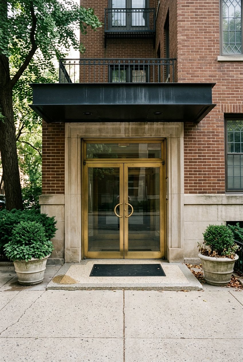
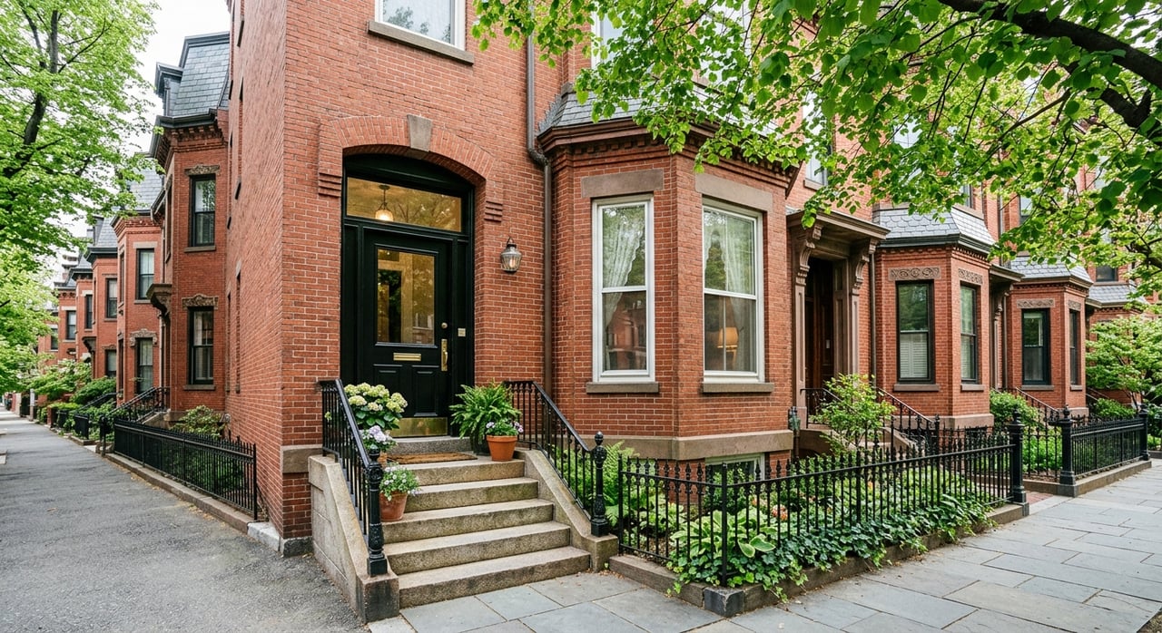
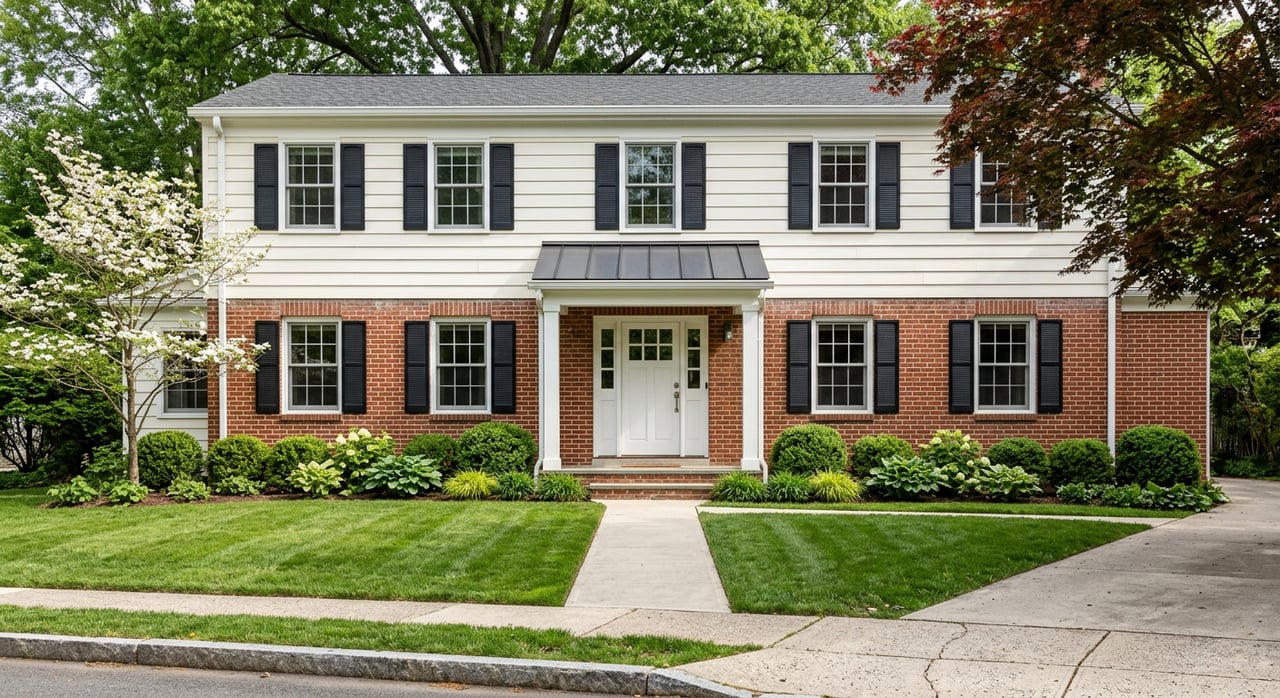
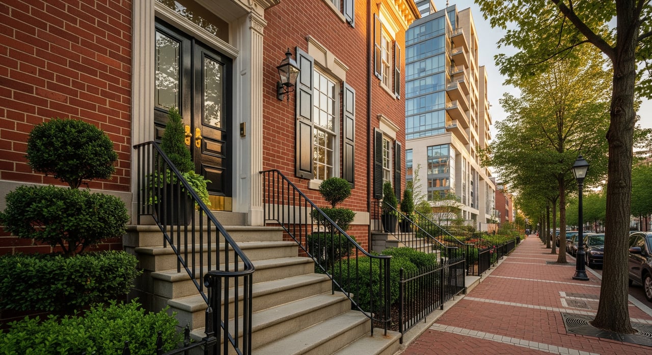
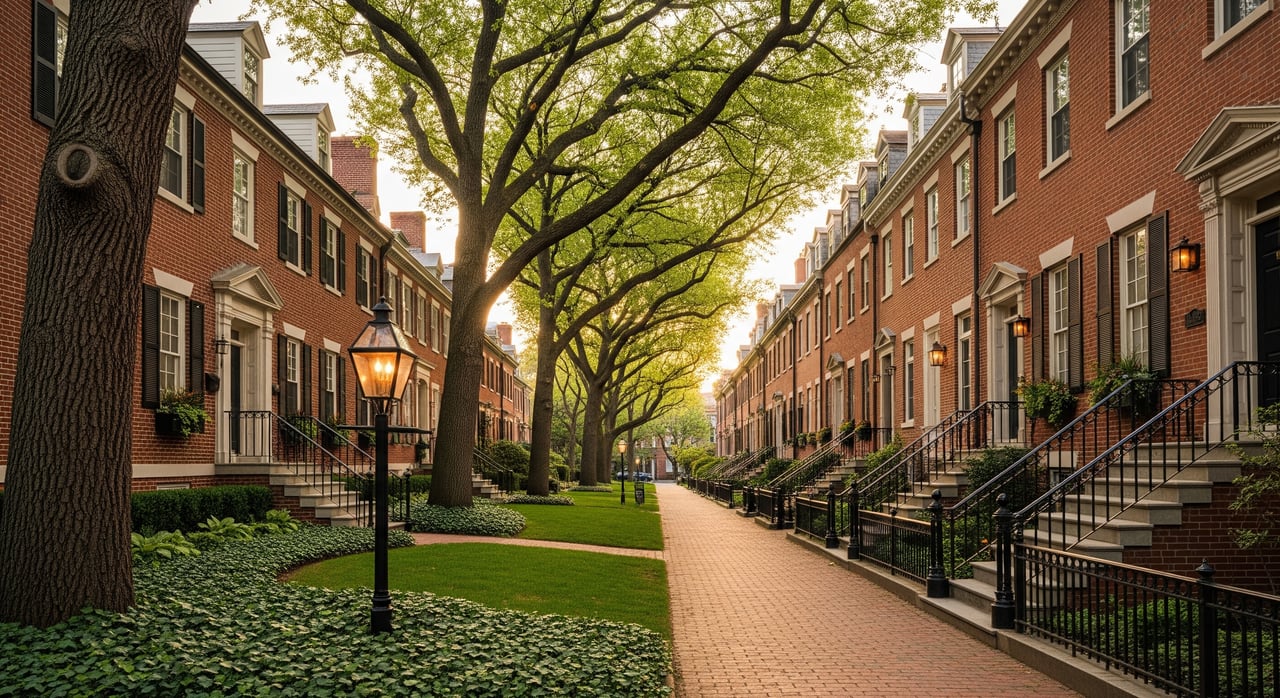
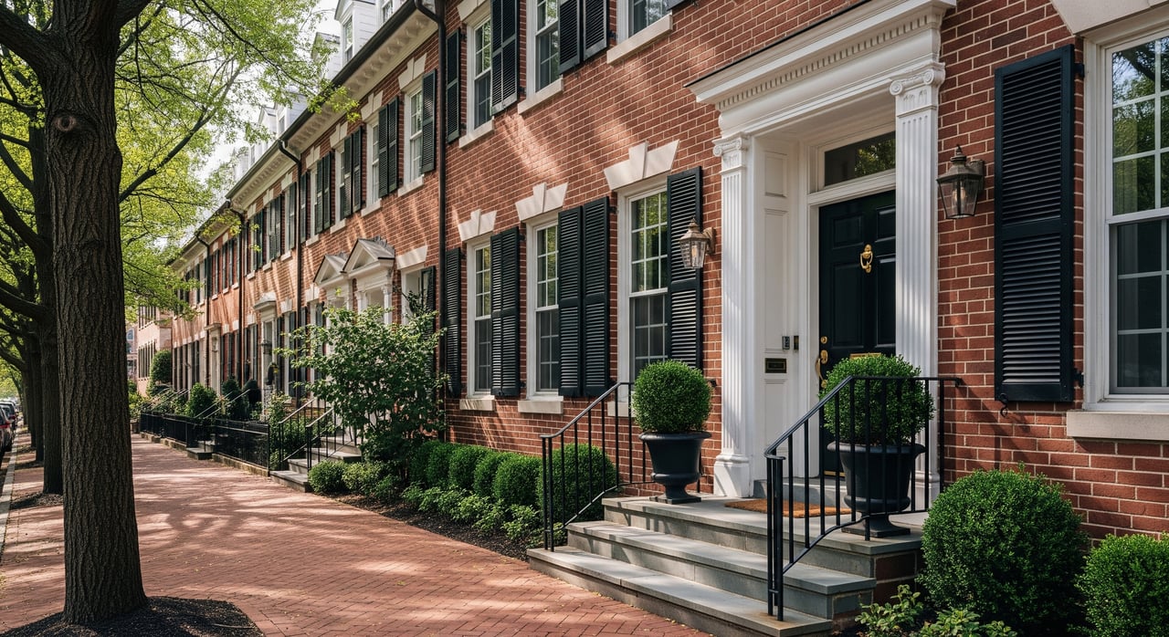
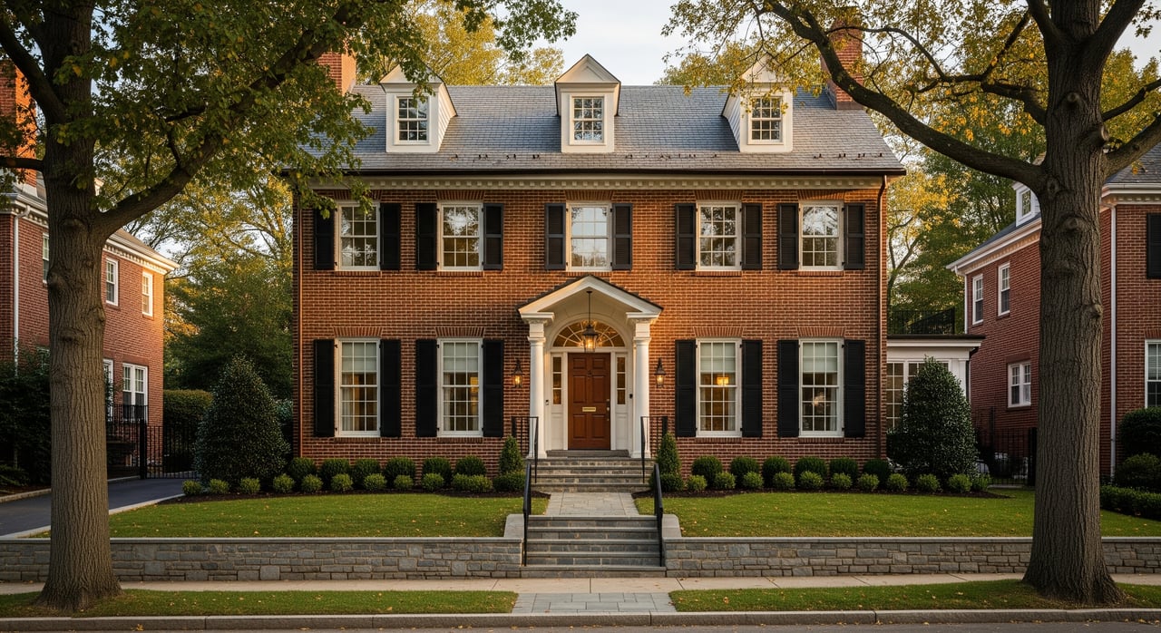
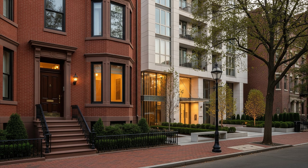
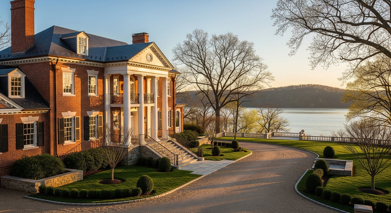
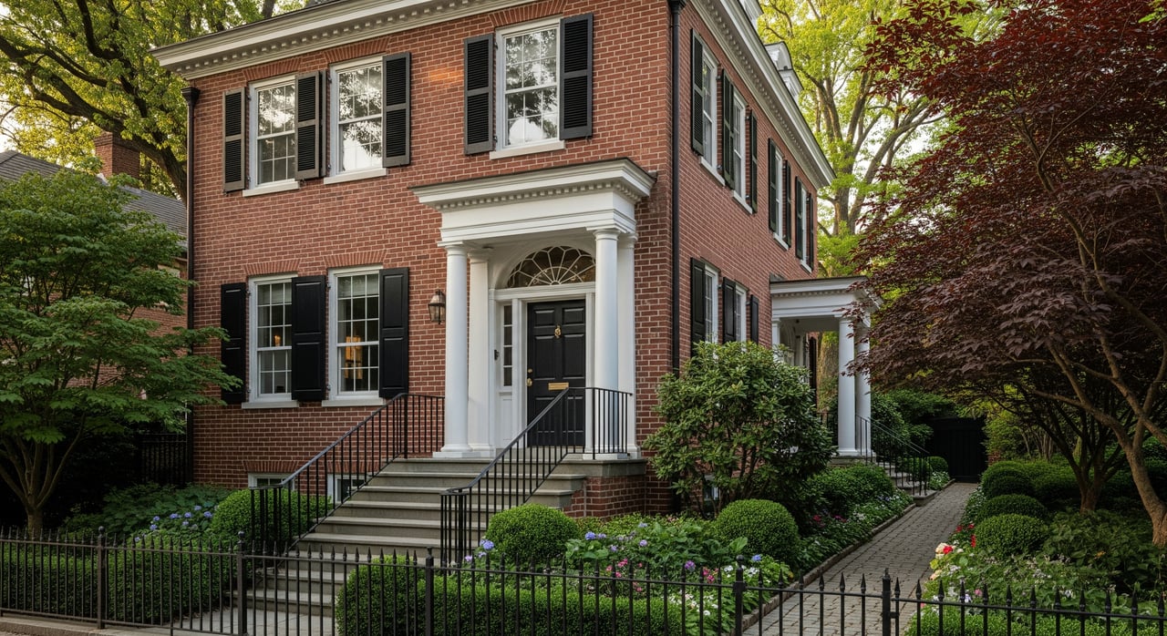
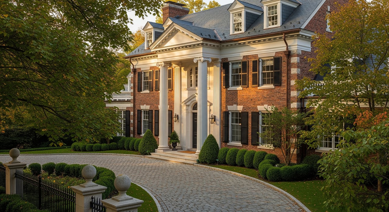
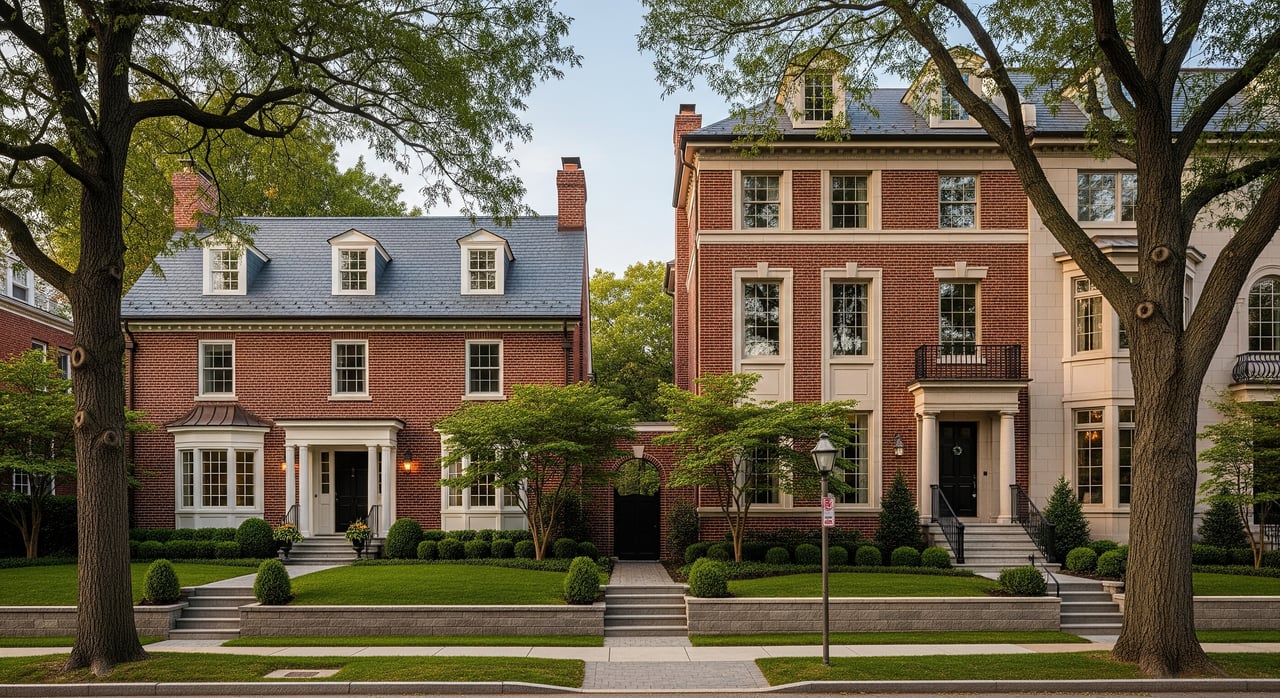
Homes and pricing context
Chevy Chase is an established market with a large share of single-family homes and pockets of townhomes and condos closer to commercial corridors like Friendship Heights, downtown Bethesda, and the Chevy Chase Lake town center. The community skews affluent and owner-occupied. According to U.S. Census QuickFacts for the Chevy Chase CDP, the median value of owner-occupied housing units is about $1,245,000 and median household income is about $211,765, with an owner-occupied rate near 76 percent (Census QuickFacts).
If schools factor into your move, many addresses feed into the Bethesda–Chevy Chase cluster within Montgomery County Public Schools, but assignments are address-specific. Always verify with the district’s lookup tool before you rely on a boundary assumption (MCPS school lookup).
How proximity affects value
Research on trails and home values shows mixed but often positive results. Many studies find a small premium for homes near well-designed multi-use trails, yet outcomes vary by neighborhood, trail design, safety, and local demand. Treat the impact as context-specific, not universal (literature review summary).
If you want clarity for a specific address or block in Chevy Chase, the practical step is a custom CMA that compares recent sales at set distances from the trail, controlling for size, lot, and condition. Use market behavior as another clue: listings often highlight trail proximity, which signals buyer interest, even if it does not quantify a price lift.
Buyer tips near the trail
- Prioritize quick, safe entries. Look for gates, ramps, or short, well-lit access paths that make daily use easy (CCT access guide).
- Test peak times. Visit on a weekend morning and a weekday evening to gauge crowds and noise near your block (trail use patterns).
- Check crossings and sidewalks. If you have kids, review crosswalks and sidewalk continuity to parks and schools, and verify school assignments with the district (MCPS school lookup).
- Plan for storage. Make room for bikes, strollers, and gear. A mudroom or garage rack can keep things tidy.
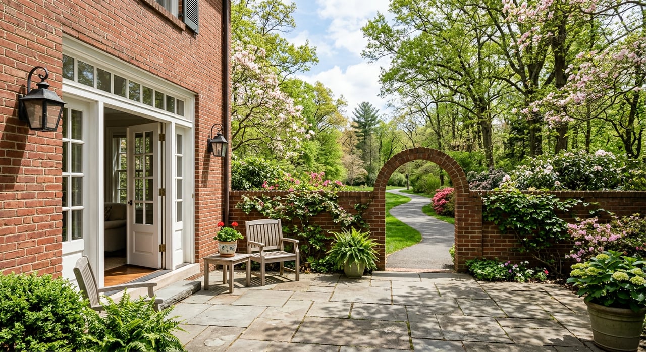
- Consider privacy. Homes right by busy entries see more foot and bike traffic. Landscaping, fences, and window treatments can help.
- Track construction. If you are near Purple Line work, confirm the latest schedule and ask about final trail finishes and lighting (Purple Line construction updates).
Seller tips near the trail
- Lead with lifestyle. Highlight the nearest entry point, estimated minutes to Bethesda Row, and popular loop options in your marketing.
- Stage for active living. A neat bike storage area or tidy mudroom helps buyers imagine daily use.
- Time your showings. If your location shines during golden hour or is quieter midday, schedule accordingly.
- Map it clearly. Add a simple neighborhood map in your listing materials so buyers can visualize the route.
- Keep it factual. Avoid promising a price premium without data. A local CMA can support your pricing strategy.
Is trail living right for you?
If you want daily access to one of the region’s most-loved paths, a home near the Capital Crescent Trail in Chevy Chase offers real lifestyle upside. You will trade a little weekend bustle near popular entries for easy miles, healthy routines, and quick trips to Bethesda or Friendship Heights. The right block, access point, and home features will make all the difference.
If you are weighing options or want a data-backed valuation for a move, let’s talk. Request a personalized home valuation or schedule a consult with Marlene Aisenberg to explore the best Chevy Chase locations for trail access, commute goals, and resale.
FAQs
What is the Capital Crescent Trail and where does it run?
- It is a regional rail-trail commonly described as about 11 miles, with a paved Georgetown to Bethesda segment and a rebuilt Bethesda to Silver Spring corridor; see the overview for details (Montgomery Parks overview).
How will Purple Line construction affect Chevy Chase trail access in 2026?
- Sections east of Bethesda have had detours and phased reopenings are targeted for spring through summer 2026; always check the latest project notices before you go (Purple Line construction updates).
Which Chevy Chase streets are closest to trail entries?
- Common approaches include Bethesda Ave, Woodmont Ave, Bradley Blvd, Dorset Ave, Arlington Rd, Connecticut Ave, Wisconsin Ave, Jones Mill Rd, Chevy Chase Lake Dr, Manor Rd, River Rd, and Little Falls Pkwy (CCT access guide).
Are there restrooms on the trail near Chevy Chase?
- Dedicated public restrooms are limited along the trail; plan ahead and use facilities in nearby parks or retail areas, and look for water fountains at popular entries (CCT access guide).
Does living near the trail raise home values in Chevy Chase?
- Studies often show small premiums near multi-use trails but results vary; a local CMA is the best way to evaluate impact for a specific home (literature review summary).
How do school assignments work for Chevy Chase homes near the trail?
- Assignments are address-specific within MCPS; confirm your home’s schools with the district’s official lookup before relying on a boundary assumption (MCPS school lookup).